New heights in 3D visualization.
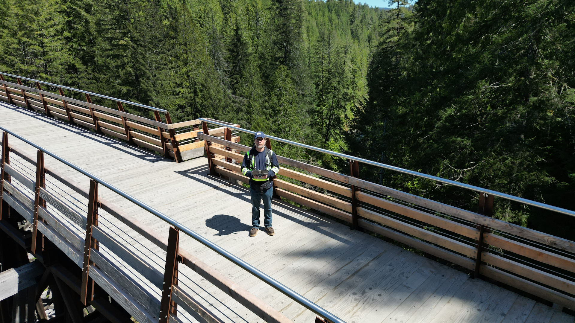
The ideal all-in-one solution for applying the benefits of an aerial drone to your project.
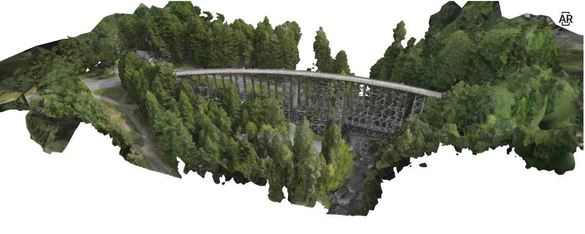
With the video footage, photos and digital data obtained from the flight mission, we can create high-detail GIS imagery and elevation data (see below), as well as an animated video, an interactive 3D/AR model for your website and presentations or even a real-world scale virtual reality experience.
Rugged terrain, technical infrastructure, or active mine-site? We’re experts in terrain-aware flight and autonomous flight and can fly safely within any project layout.


